Vaihingen Double Layer Dataset (Vaihingen-DL) is released
Introduction
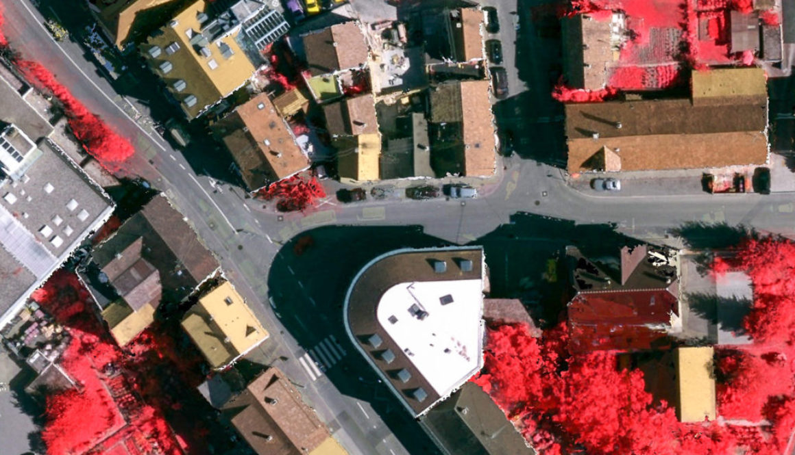
The Vaihingen-DL dataset contains aerial images of Vaihingen village in Germany, associated with corresponding digital surface models (DSM) and two ground truth images – one for the base and the second – for the occlusion layer.
| Base layer | Occlusion layer | ||
|---|---|---|---|
| class 0 | Road | class 0 | Void |
| class 1 | Traffic island (asphalt) | class 1 | Tree |
| class 2 | Sidewalk | class 2 | Car |
| class 3 | House | class 3 | Bridge |
| class 4 | Grass | ||
| class 5 | Agriculture | ||
| class 6 | Water | ||
| class 7 | Sealed | ||
| class 8 | Traffic island (vegetation) | ||
| class 9 | Beach | ||
| class 10 | Railway | ||
In ground truth images, the classes are marked with pixels with the above mentioned values (e.g. classes “Sidewalk” and “Car” have values 4).
Usage
The Vaihingen-DL dataset can be used to test image segmentation, feature extraction, classification approaches, etc especially for occluded areas. It has two layers of reference labels, thus the occluded areas of the scenes are also covered with ground truth labels. Two layers of labels could be used with the multi-layer CRF classification framework which is a part of the Direct Graphical Models library.
Copyright of the images in the Vaihingen-DL fully belongs to their owners. In no event, shall owners be liable for any incidents, or damages caused by the direct or indirect usage of the images. The dataset should be only used for non-commercial research and/or educational purposes.
Download
The Vaihingen-DL dataset can be downloaded from this link: Vaihingen-DL.rar (61MB). If you use the dataset in your publications, please cite it, using this BibTex file.


